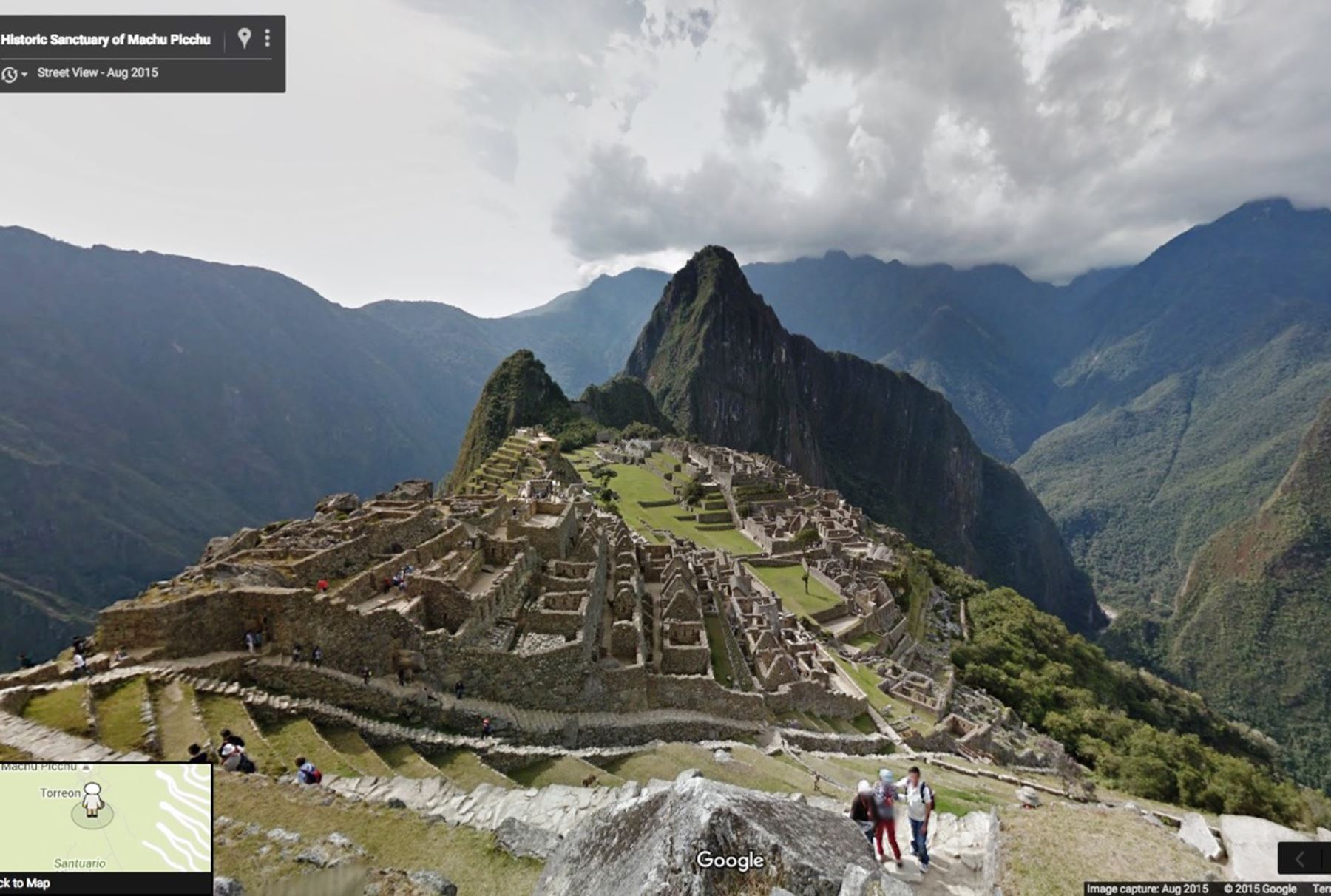
Google Street View to display more Peruvian attractions
13:59.
Lima, Dec. 18. A great interest has driven Google Street View to capture panoramic images of diverse Peruvian archaeological sites, so a larger number of people will be allowed to virtually explore main tourist attractions and thus learn about the history of the Inca Nation.
Therefore, this tool is very important for countries' tourism and education sectors above all, Google Communications Manager for Colombia and Peru Susana Pabon expressed.
"The question is: Will other Peruvian archaeological sites continue to be displayed? The answer is yes. Google is committed to creating a more perfect map; we will travel to other areas. In this sense, other attractions will be featured indeed [...]," the Google officer told.
"By relying on more Peruvian digitalized sites, Google puts the spotlight on the country given that it draws people's interest in archaeological attractions which can be first virtually visited and in-person afterwards,” she added.
Posting Peru on the Google platform allows boosting domestic and international tourism. More people use the tool to conduct research on the nation, learn about its main tourist attractions and see 3D images.
The said project will rely on the "trekker" tool; a camera placed on a backpack carried by an operator, who tours around archaeological spots on foot.
"Street View is a feature available in Google Maps, Google Earth and Google Maps for mobile that allows users to explore the world through 360-degree street-level imagery," the Internet giant stated.

No hay comentarios:
Publicar un comentario